Home
  • Maps
    • Interactive Maps
    • Downloadable Maps
    • Story Maps
  • Data
  • Surveys
    • Hydrography
    • Plans and Progress
    • Vessels
    • Equipment
    • Drones
  • R&D and Education
    • Research
    • Publications
    • Case Studies
    • Outreach
    • Education
  • Gallery
  • News & Events
    • News
    • Events
  • About
    • Glossary
    • Contact
    • Partnerships
    • Cookies
    • Privacy
    • Irish Seabed Mapping
Search Icon
Search Icon

Story Maps

Hydrographic History Through Our Spyglass

Hydrographic History Through Our Spyglass

.

Galway Bay

Cork Harbour

Cork Harbour

Dingle Story Map

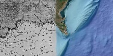
Exploring Dingle Bay From a Different Perspective

Charles Fort. Courtesy of AirCam Aerial Photography http://www.aircamireland.ie/

KINSALE - An Enduring Maritime History

Cerianthus lloydii

Marine Biodiversity - Kilkieran Bay

Renewable Energy

Ocean Energy Test Site in Galway Bay

AORA - Mapping the Atlantic

AORA - Mapping the Atlantic

About

INFOMAR is a DECC funded joint programme between the Geological Survey Ireland and the Marine Institute, surveying our unmapped marine territory and creating a range of integrated mapping products of the physical, chemical and biological features of the seabed.

Contact

Geological Survey Ireland,
Booterstown, Co. Dublin. A94 N2R6.
Tel: +353 1 678 2896

Marine Institute,
Rinville, Oranmore,
Galway H91 R673.
Tel: +353 91 38 7200

Twitter Twitter Twitter

Subscribe

Keep up to date with INFOMAR. Subscribe to email notifications for our news and events.

Sign Up
Department of the Environment, Climate and Communications logo
GSI logo
Marine Institute logo