Skip to main content
Maps
Interactive Maps
Story Maps
Data Access And Download
Surveys
Hydrography
Plans and Progress
Vessels
Equipment
Drones
R&D and Education
Research
Publications
Case Studies
Outreach
Education
Marine Geoscience Reports
Gallery
News & Events
News
Events
About
Glossary
Contact
Partnerships
Cookies
Privacy
Irish Seabed Mapping
a
Latest News & Events
25/05/2026
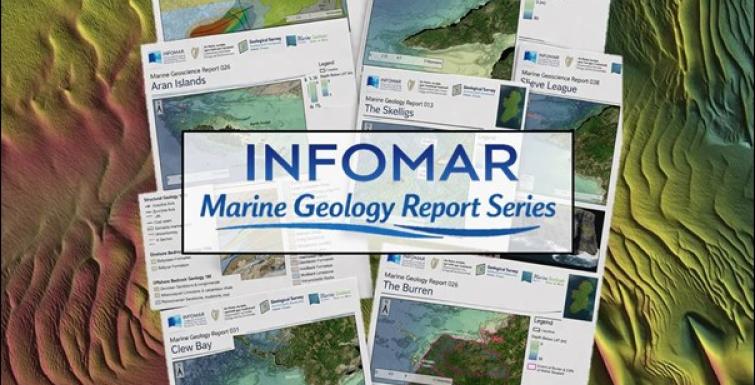
INFOMAR Launches Marine Geoscience Report Series
19/05/2026
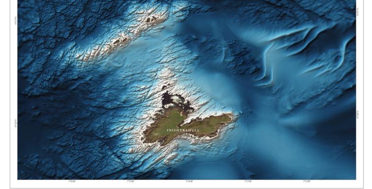
INFOMAR Launches Blue Scale Island Series
31/03/2026
2026 INFOMAR Masters Module with Maynooth University and SMART Sea School
12/01/2026
The INFOMAR Masters module -Seafloor Mapping 2025 with University College Dublin
10/12/2025
Advancing Satellite Derived Bathymetry in Ireland’s Coastal Waters: New Research Supported by INFOMAR Data
06/11/2025
From Ireland to the Polar Regions: Tea Isler’s Journey in Seabed Mapping
06/08/2025
INFOMAR Celebrates Heritage Week 2025 with Daily Coastal Highlights
06/08/2025
Looking Back on World Lighthouse Day 2025
06/08/2025
Donegal Pride at Sea: R.V. Mallet Charts Waters off Árainn Mhór Ahead of All-Ireland Final
06/08/2025
Geological Survey Ireland and INFOMAR attend Rose Festival 2025
Pagination
Current page
1
Page
2
Page
3
Page
4
Page
5
Page
6
Page
7
Page
8
Page
9
Next page
->
Last page
last