Life at Sea! - A Graduate Blog by Ellie Fanning
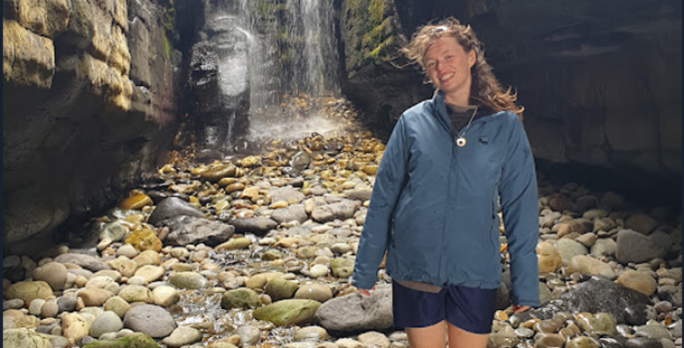
"As a Graduate Geologist with the Marine Unit at Geological Survey Ireland, I recently got the chance to work onboard the INFOMAR research vessels. I spent three weeks at sea with the crew, mapping our seabed off the west coast of Ireland with our bathymetric sonar. With only two data-collecting years left of the project, the team is currently taking on some of the trickiest areas of the Irish seabed so far; the coastlines of Donegal, Sligo, and Mayo.
As someone with a love for fieldwork and the outdoors, I find that working at sea offers its unique challenges, but of course, its unique joys. Each survey day begins with checking the weather conditions and creating a plan for each vessels’ target survey areas. Survey plans are then continuously adjusted while out on the water, as offshore conditions shift. Working in some of the most exposed parts of the Wild Atlantic Way, this can sometimes come down to a search for pockets of sheltered coastline. With wind, swell, and tide changing throughout the day, and only 10 semi-reliable days of weather forecast ahead at any point; strategic planning is essential.
My role on board was to assist as a surveyor; deploying and applying sound velocity profiles, as well as logging, saving, and backing up both the bathymetric sonar data and the positioning data. As a recent graduate of Geoscience (B.A.) from TCD, it has been incredible working with the crew and learning in real time how INFOMAR operates out at sea. Mapping some of the most beautiful areas of our coast as part of such a groundbreaking project is a very unique experience. Many people don’t realize that Ireland is a world leader in ocean exploration, with INFOMAR (a project funded by DCEE and jointly managed by GSI and the Marine Institute) pioneering a historic first in systematic seabed mapping. It’s amazing to play a part in a seabed mapping project of this scale, and I look forward to more time on the boats next season!"
List of figures:
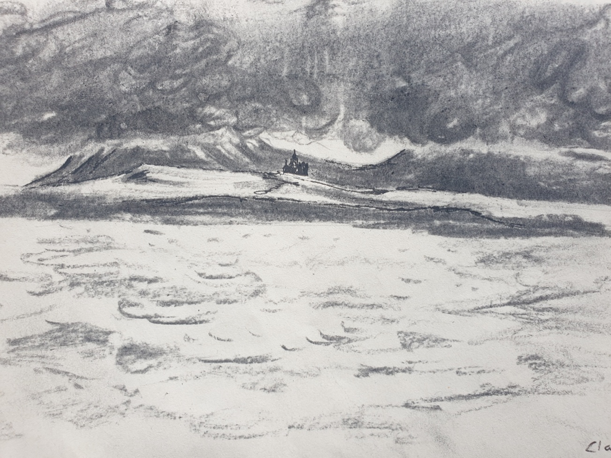
- Illustration at Sea. Classiebawn Castle, Mullaghmore Co. Sligo
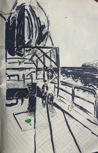
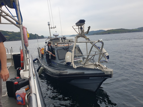
- Onboard the RV Mallet
- Transiting on the RV Mallet
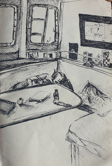
- Onboard the RV Lir
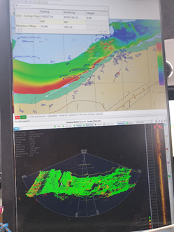
- Live bathymetric and sonar data on the Lir computer
- RV Lir, Donegal Bay
- Fintra Beach, Co. Donegal from onboard the RV Galtee
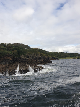
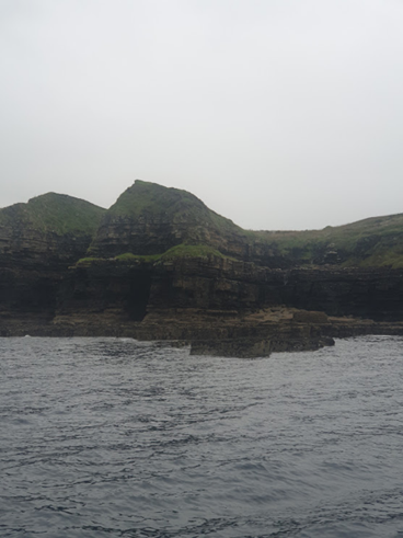
- Mullaghmore outcrop, Co. Sligo
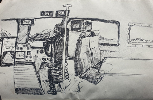
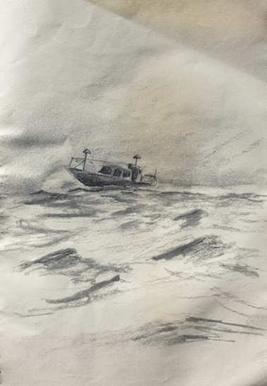
- Illustration of RV Lir in transit
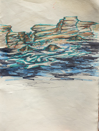
- Abstract illustration of the Sligo coast
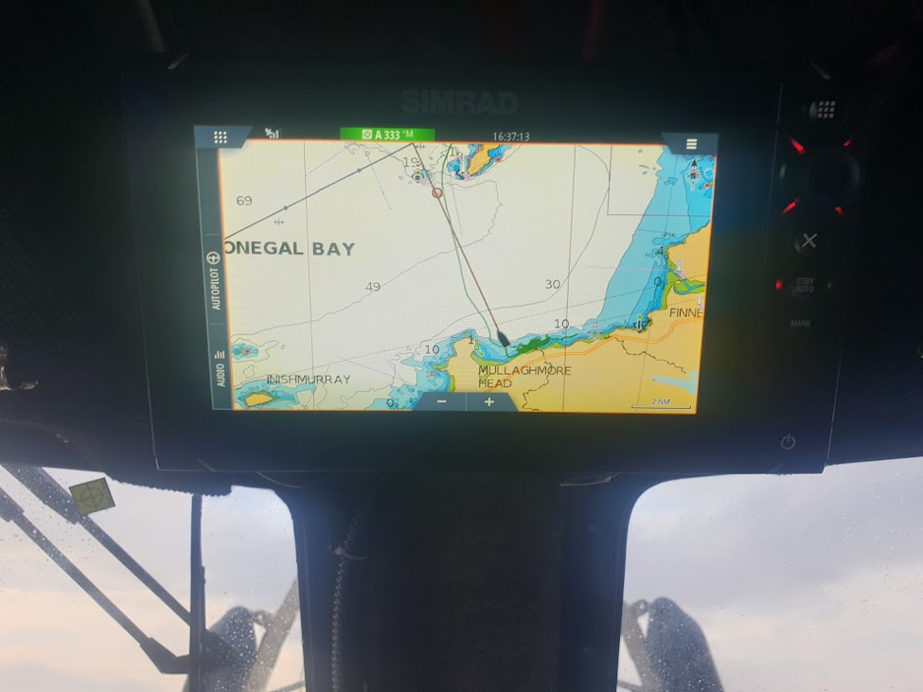
- Nautical chart of Mullaghmore Head, Co. Donegal